
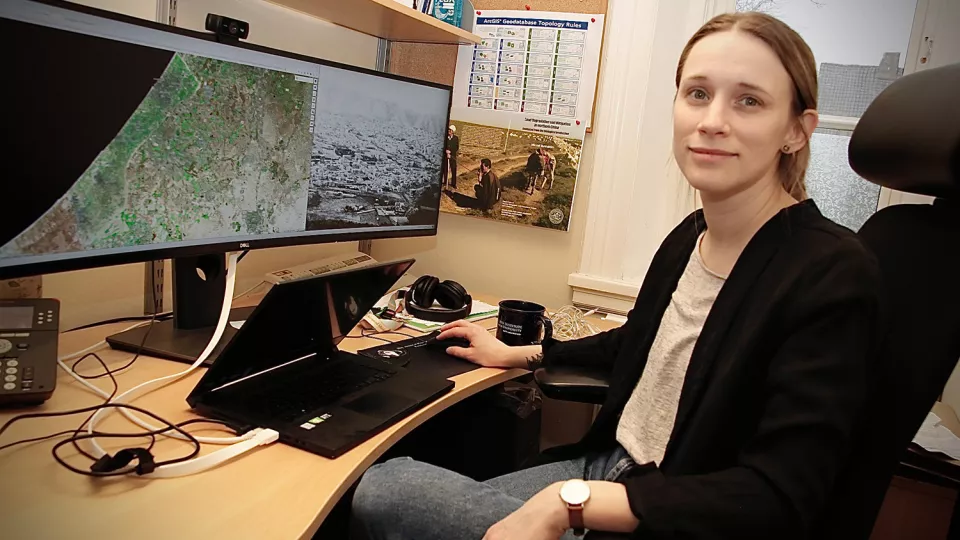
Lina Eklund, associate senior lecturer at the Department of Physical Geography and Ecosystem Science and researcher at the Centre for Advanced Middle Eastern Studies, is studying a new satellite image of Gaza. The picture shows a neat patchwork of fields, winding roads and houses. She zooms in on the grey areas that are buildings.
Using satellite radar, Lina Eklund and her research colleagues are able to analyse neighbourhood by neighbourhood and see which of the buildings have been fully or partially destroyed since Israel began bombing Gaza in response to the Hamas attacks on Israeli civilians on 7 October 2023. Since November, Lina Eklund has been receiving high-resolution images from the European Space Agency’s Sentinel-2 satellite every week. With each new image, the areas of destroyed buildings expand.
“Looking at the north of Gaza, 72 to 84 per cent of the built-up areas are completely or partially destroyed. We can also see that previously productive farmland has been bombed or occupied by Israeli troops who have turned fertile land into parking for tanks,” she says.
Northern Gaza is worst affected
The analyses are carried out by the international non-profit Decentralized Damage Mapping Group. It is made up of researchers and organisations working in various ways on geographic information systems (GIS) and remote sensing.
“The purpose of our work is to provide an objective view of the destruction, which is not always easy to access when it is dangerous to be on the ground and you have to go through governments that often report based on their own agendas,” she says.
Northern Gaza is the area most damaged by Israeli bombing so far. But the destruction is also gradually worsening in central and southern Gaza, Lina Eklund explains.
“In the central areas, about 50 per cent of the buildings have been completely or partially destroyed. In the south towards the Egyptian border, where many have fled, the corresponding figure is between 22 and 32 per cent,” she says.
Death toll stands at 29,000
Lina Eklund has been conducting various research projects in the Middle East for over a decade. She has previously studied the impact of drought and war on migration in Syria and used GIS to map the road network and accessibility in the West Bank. She has several Palestinian friends and colleagues living in the West Bank.
“They are not as vulnerable as the people in Gaza. But many are still severely affected by the war,” she says.
At the time of writing, some 29,000 people have died in Gaza, according to the Hamas-run Ministry of Health. The work Lina Eklund and her international colleagues are doing cannot help the vulnerable population on the ground. However, the analyses may turn out to be an important piece of the puzzle for investigations into violations of international law and the planning of emergency humanitarian responses.
“Behind these numbers people are dying, being injured or trapped in rubble. I would prefer that we didn’t have to analyse it at all,” she says.